This self-paced course promotes an interactive approach through lessons and multimedia material, stimulating critical thinking. It provides a lot of flexibility, since you will be able to complete the course at your own pace and timeframe.
Each interactive module is accompanied by a quiz. To receive a Certificate of Completion one needs to achieve a minimum grade of 80% on each quiz.
The e-learning course is structured into 4 modules:
- Introduction to GIT in Fragile Contexts
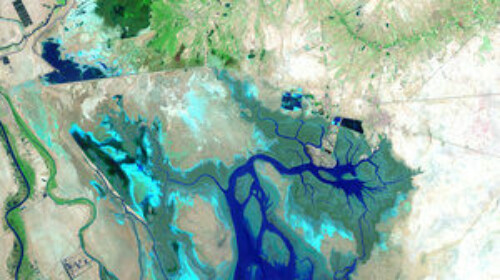
- What Can Satellites See?
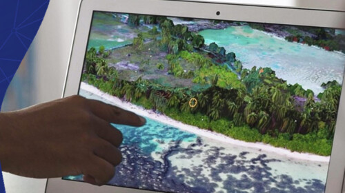
- GIS analysis for Fragile States
- How To Use Our Online Platform (E04SDFCV)
Target Audience
The course is open to public.
Learning Objectives
- Differentiate between GIT, GIS, Remote Sensing, and Satellite Navigation Systems
- Explain why GIS has become a privileged tool to support states affected by fragility
- Identify the main types and availability of remote sensing data
- Explain how satellite data can be used to obtain numerous types of information
- Analyse a project and identify potential GIS applications
Related
Inclusive Digital Transformation for the Achievement of the SDGs and the SAMOA P
Course
Self-paced e-learning
Offered by:
ITU, UNDP

building inclusive and digitally accessible environments and communities
Course
Self-paced e-learning
Offered by:
ITU

Infrastructure, Public-Private Partnerships, and Fiscal Management
Course
Self-paced e-learning
Offered by:
WBG - OLC, WBG